5:20am - I have slept restlessly in the hotel, as I usually do, and this is the first time I remember looking at the alarm clock.
6:20am - I am dozing off and on, but it will be time to get up soon so we can get going. We have about 2:40 of driving to get to the day's hike at Spruce Knob.
6:45am - Time to hit the showers and get dressed.
7:15am - Dave and I are ready, but Leo is in the shower. To kill time before meeting up for breakfast in the hotel's little breakfast area, Dave and I decide to go to the gas station/convenience store (a Sheetz) across the street to gas up and fill the coolers with ice. While we are out we grab a quick geocache in the parking lot of a fast food place down the street from the hotel. I have cache finds in Virginia already, but only in the eastern part of the state, so this will be a new county (geek, I know...). This will be the first of a modest seven geocache finds on the trip.
8:40am - We have had the simple complimentary breakfast at the hotel and are on the road. Not quite as early as I had thought we might be, but still on target to be hiking by noon.
The ascent into the West Virginia mountains is a nice drive. We are on highways for a little while, but soon we are on two lane roads, working our way through gaps and down the valleys between mountain ridges. The scenery is beautiful, but the driving is slow for the miles we are covering. Sharp curves, no passing zones and some rubber-necking at the views. That's why it's a two hour and forty minute drive to our destination. At about the 2 hour mark we drive past our campground at Seneca Rocks and continue on to Spruce Knob. The final approach road up the mountain to the state highpoint is quite a ride: switchbacks, steep narrow roads and blind curves for miles.
 |
| Spruce Knob Observation Tower |
11:30am - We arrive at the parking lot for Spruce Knob. The actual highpoint with its observation tower is only about 300 yards from a parking lot. We hit the high point before our hike (at 4,863 feet). There is a traditional cache along the gravel path to the tower, so Dave and I now have a cache in West Virginia. This is my 23rd state. Woo hoo. I also gather the required information for an earthcache (a geology-based educational kind of geocache). The view from the tower is amazing, with wooded ridges as far as the eye can see. It's a beautiful day, with blue skies, fluffy white clouds, and a nice cool breeze.
 |
| View from the Tower |
11:54am - We set off down the Huckleberry Trail. The trails in the Spruce Knob area (and there are many of them) are laid out in such a way that a loop or circuit hike isn't really an option. We could do a shuttle hike (from one car to our other car parked at a different trailhead) but we opt for a simple out-and-back along the ridge top Huckleberry trail for as long as we choose.
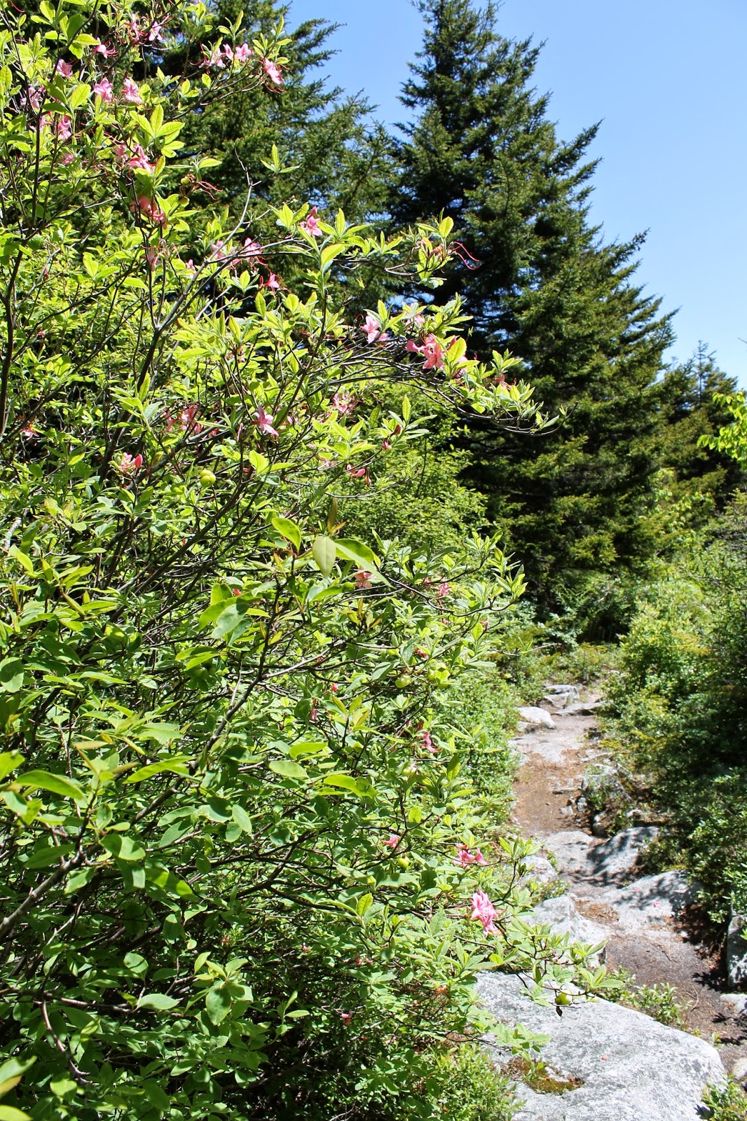 |
| Spruce and head-high azaleas |
The hike is a nice easy one, through stands of red spruce and upland forest intermingled with mountain meadows of laurel and azalea. We are following the ridge line, and are descending very slowly away from the highpoint. In effect, we are doing part of hike #45 on page 238 of the Falcon Guide Hiking West Virginia (2nd edition, 2013). That hike is a shuttle from a trailhead on the Seneca Creek Trail along the creek for 5 miles or so (down in the valley between the ridges) and then up onto to ridge top to meet the Huckleberry Trail, and then 5 miles up the Huckleberry to the highpoint. We are doing the Huckleberry piece as an out and back.
 |
| Green everywhere |
12:57pm - Approximately 3.1 miles north out the Huckleberry Trail we stop for lunch in a beautiful mountain meadow. [Have I mentioned how great digital photos are at time stamping everything?]. The view west across the valley to a distant ridge is amazing. Lunch itself is ham and cheese sandwiches and various trail snacks. Conversation is a train of consciousness blend of movies in general, James Cameron movies in specific, Game of Thrones and miscellaneous strolls down memory lane. The thought occurs to me as we eat that even though I don't see Leo as often as I would like, and see Ted almost exclusively on these trips, I am as comfortable around these three guys as any other people I know. Lots of shared history in 48, 47 and 35+ years...
 |
| Lunch in a mountain meadow |
1:31pm - Lunch break, conversation, airing of boots and socks, and enjoying the view is done. We hit the trail and continue North.
 |
| The view West from my lunch seat |
2:10pm (ish) - At around mile 4.5 of our hike (courtesy of my Garmin 450t GPS track), we begin to drop steadily off the ridge into the valley to our west (left). Dave and Ted voice the opinion that further out means further down, and that what goes down (in this case) must come back up. Given that we are planning the big hike of the trip to be tomorrow in the Dolly Sods Wilderness ("Dolly til we drop" as Leo puts it), it is suggested that we turn around and head back. Leo is amenable. I am relieved. I was enjoying the views, the forests, and the easy hiking, but once it was brought to my attention I realized that a 9 mile day today was just fine with me. More would be...more. And so we headed back.
 |
| Spruce Knob - 8.9 miles |
3:43pm - We are back at the starting point, 3:49 after setting out, including a 35 minute lunch break. The GPS says we have covered 8.9 miles, or a pace of about 2.8 miles per hour (taking out lunch).
My legs are a little sore from the mileage, but I feel great. It's always terrific to be out in the woods with the guys.
Next...Saturday part 2...Seneca Shadows Campground.
No comments:
Post a Comment