Nobody had much time to do significant hike research or planning leading up to this trip, but I have bought a couple of books and done some reading. The most reasonable hike for the day and the one we decide to do is hike #41, Dolly Sods North Circuit, on page 219 of the Falcon Hiking West Virginia guidebook. We will do this exactly as written.
The Dolly Sods wilderness is a 17,000+ acre protected national wilderness area of upland mountain plateau, and is a mix of spruce and hardwood forests interspersed with azalea, mountain laurel and blackberry meadows and rocky outcrops. The name comes from the Dahle family of German immigrants who lived in the area a long time ago, and a "sods" is a local term for this kind of upland meadow terrain.
7:45am - It has been cool overnight, so I have been hunkered down in my nice warm sleeping bag, dozing off and on as it has been getting lighter. I have heard Leo and Ted moving around outside, and we had agreed to get going fairly early, so Dave and I are astounded when a voice outside out tent announces that it is time to get up since it is almost 8am. Yikes. With breakfast, getting dressed, making and packing lunches, and all the other various and sundry things that go into getting ready for a hike, it is nearly 10am by the time we are on the road.
10:45am - After a missed turn on the road, some doubling back to the right spot, and a long slow drive up to the Dolly Sods plateau on a horrible dirt and gravel road, we are finally setting off on the Bear Rocks Trail, heading west. This hike is described in the guidebook as a "vistapalooza", and from the moment we arrive in the parking lot, this is obviously true. Long sweeping views across the plateau and off the plateau into the surrounding valleys and distant ridge lines are astounding.
 |
| Setting out, heading West |
11:12am - We arrive at the first of many small stream crossings, over upper Red Creek. Exactly as the guide book said, we are hiking through meadows of laurel, azalea and berry, along with mixed Spruce and hardwood forest sections. My legs were sore after yesterday, and they still are, but it is nothing too bad and isn't getting worse. A short climb section in the early going has me muttering curses under my breath (as usual), but this will prove to be the worst of the climbing. For the most part will be be rolling up and down slopes and rises and not doing any significant climbing.
 |
| Crossing Red Creek |
11:44am - We reach the junction with the Raven Ridge trail at about mile 3 and head further west on it. The views continue to be amazing. I feel at times like I should be hearing yodeling or something.
 |
| Upland meadows |
12:23pm - We reach the far NW corner of the hike track, where the Raven Ridge trail turns south and becomes the Rocky Ridge trail. The trail is messy at times. Despite being up on the mountain plateau, there are a lot of areas with standing water and sloppy poor-draining sections of trail. At this point it is just muddy and slippery in places (but it will get ugly later...).
 |
| Sloppy at times... |
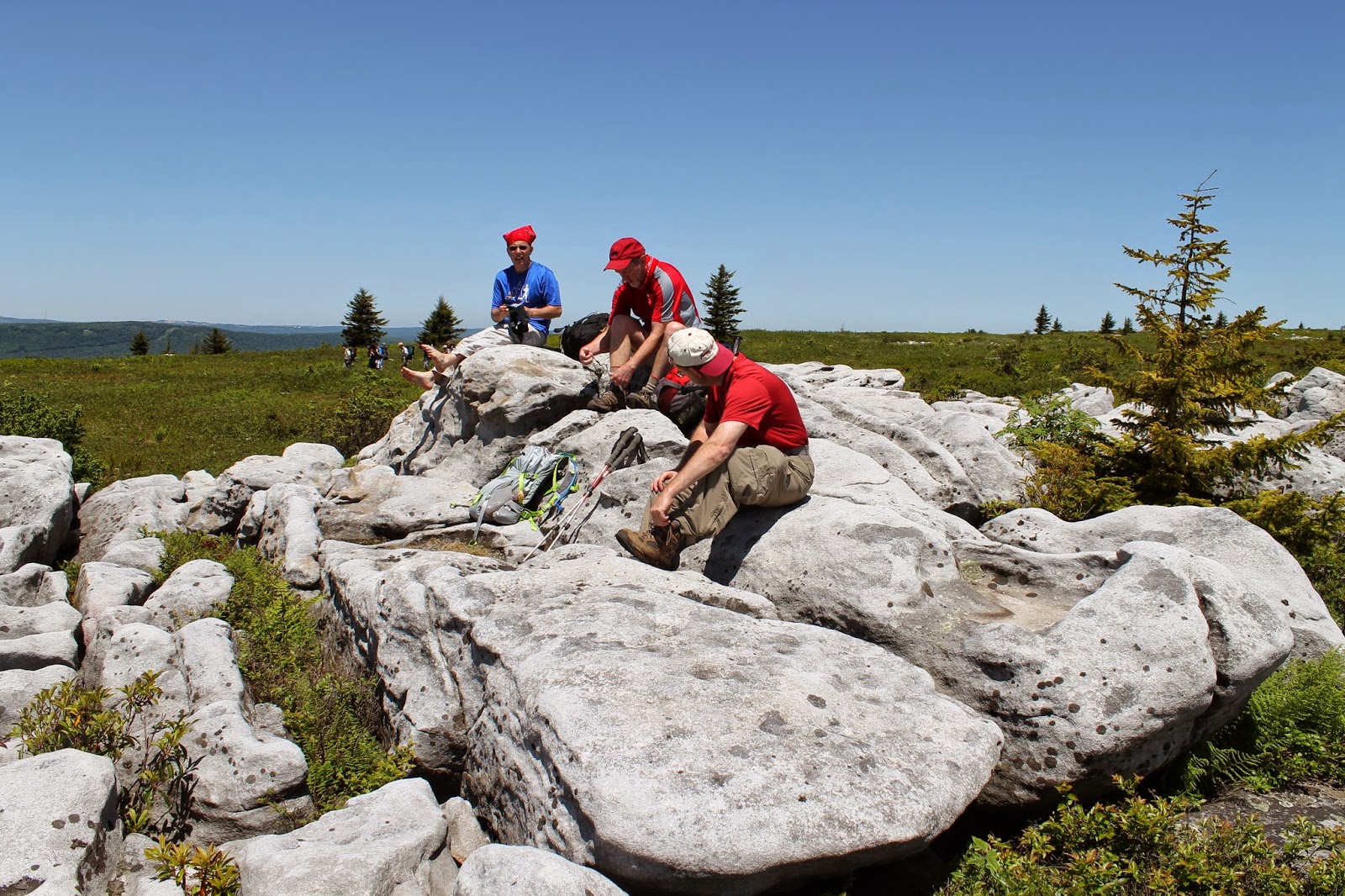
12:30 - Shortly after turning south, we see a rocky area ahead to our left that looks like a perfect place for a lunch stop. As we get closer, we see that there are a bunch of people already there. It turns out to be a Boy Scout troop that is leaving just as we arrive. It is proving to be a hotter day than we thought it would be, and it is nice to stop for a rest. We are somewhere around 5 miles into what is said to be a 10.8 mile hike, and my legs are feeling a little tired, but pretty good over all. I haven't gotten any more sore than I was after yesterday, and if anything, the activity is shaking off some of that soreness.
 |
| Rock pile for a lunch stop |
It's amazing how good a simple thing like a ham and cheese sandwich can taste when you are hungry and out in the great outdoors. A simple pleasure.
 |
| Sandwiches in the open air |
1:05pm - Lunch is over, and we saddle up and continue south down the Rocky Ridge trail. I LOVE this kind of open rocky terrain, so this section of trail is a joy. The views to the West (our right) across the Canaan valley are gorgeous.
 |
| South down the ridge from our lunch site |
It's hot, and is getting hotter.
Next...Dolly Sods part 2...and back to camp
No comments:
Post a Comment